An annual Geographic Information Systems (GIS) outreach programme is transforming how Grade 12 learners understand geography, shifting it from a textbook subject to a hands-on, technology-driven discipline with real-world relevance.
Led by senior lecturer Dr Nisa Ayob, the initiative is designed to bridge the gap between theory taught in high school geography and the practical application of spatial technologies. At its core is a focus on developing spatial thinking, the ability to understand where and when events occur, and how patterns and relationships unfold across space.
“Many learners already possess spatial thinking skills without realising it,” Dr Ayob noted, emphasising that the programme aims to help learners recognise and develop this inherent ability.
Throughout the day, learners were exposed to practical demonstrations that connected classroom concepts to everyday experiences. One such activity involved analysing satellite imagery to observe cloud movement, allowing learners to explore how remote sensing technologies can inform short-term weather interpretation and rainfall prediction.
The outreach programme also prioritised interactive learning. In a GPS-based treasure hunt, learners worked through spatial clues, recorded geographic coordinates and translated them into mapped outputs, an exercise that required critical thinking about location, movement and spatial relationships.
Learners used GIS tools to digitise their home locations. For many, this marked their first experience in creating a map rather than simply interpreting one. The shift from passive learning to active knowledge production sparked visible excitement and a strong sense of ownership.
A distinctive feature of the initiative was the involvement of undergraduate and postgraduate students, who took on the role of facilitators. Rather than acting as assistants, they engaged as emerging experts, sharing knowledge while reinforcing their own academic understanding.
This peer-led approach fostered a collaborative learning environment, strengthening both confidence and a sense of belonging in the field of geography.
The impact of the programme was evident in the high levels of enthusiasm and participation throughout the day. Learners not only deepened their understanding of GIS but also gained a broader perspective of geography as a dynamic and evolving discipline with strong technological foundations.
As the demand for spatial data and geospatial technologies continues to grow globally, initiatives like this outreach programme are positioning learners to see geography not just as a subject, but as a gateway to future careers in science, technology and innovation.
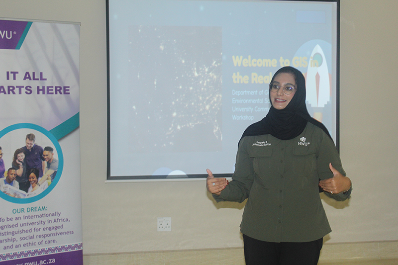
Dr Nisa Ayob led the annual Geographic Information Systems outreach programme.